All images on this webpage are courtesy of NASA, JPL-Caltech, ArtCenter, the Data to Discovery Program, and the JPL Hydrology and Simultaneous Localization and MappingTeams.This work originated from the 2022 JPL-Caltech-ArtCenter Data to Discovery Program. The research was carried out by the Jet Propulsion Laboratory, California Institute of Technology, under a contract with the National Aeronautics and Space Administration (80NM0018D0004). Authors include: Racquel Fygenson, Isabel Li, and Alex Lim. In collaboration with: Cédric David. Under the mentorship of: Scott Davidoff, JPL/NASA, Maggie Hendrie, ArtCenter, Hillary Mushkin, Caltech, and Santiago Lombeyda, Caltech + ArtCenter
RAFT:
River and Flow Traversal (RAFT)
visualization
Developed through the NASA JPL & CalTech Data to Discovery initiative
My work with NASA’s Jet Propulsion Lab rendered three different visualization tools, each designed and developed specifically to address the needs of three different JPL teams. My team devleoped RAFT to address JPL’s Hydrology team’s need to explore and make sense of large swathes of new data about the flow of the Earth’s rivers.

What does RAFT do?

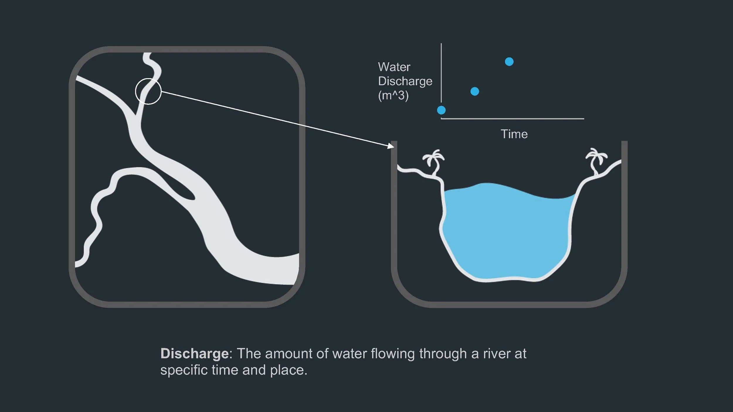
Among other things, hydrologists are interested in how water propagates through rivers. NASA collects satellite data of the speed and location of water flow across the world, which can illuminate how pollution, flash floods, and riverbed move across regions, bringing with them ecological, agricultural, and geo-political impact.
RAFT is a widget-based tool that allows hydrologists to explore how water discharge propagates downstream. For more info, check out the abbreviated final deck below.